Drone surveys have much to offer
Tuesday, 28 March 2017
by Natura Pacific
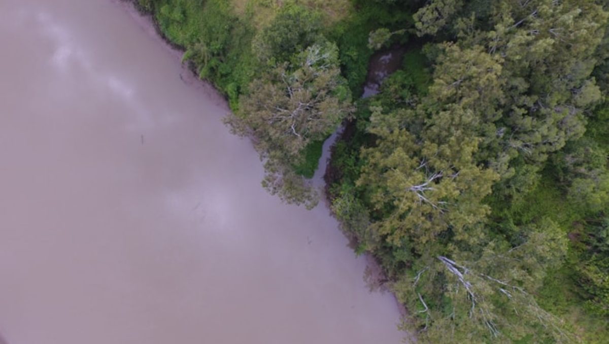
Drone surveys – efficiency and accuracy! When it comes to mapping and monitoring an area’s environmental condition, there are various approaches to consider. Here at Natura Pacific we’ve found that using a drone is one of the most efficient and accurate survey methods around. This service allows us to provide you with a clear and
- Published in Consulting
VIDEO: Natura is taking to the skies with drone mapping services
Wednesday, 22 March 2017
by Natura Pacific
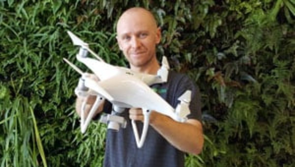
Have you ever wondered how drones could benefit your development proposal or project? Well, ponder no longer, because the Natura Consulting team now has two trained pilots of a brand new aerial drone that we have nicknamed ‘Libélula’ after the Spanish for ‘dragonfly’. Using this drone we capture, in real-time, exceptional-quality aerial images which are
- Published in Consulting, Videos


