Aerial Drone DEA
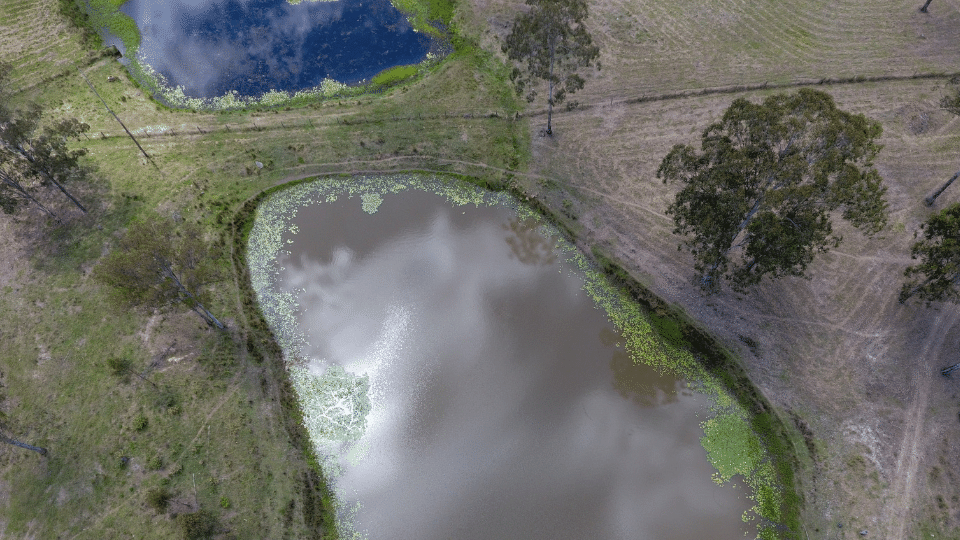
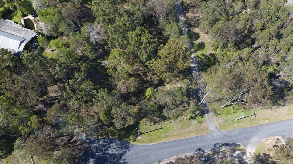
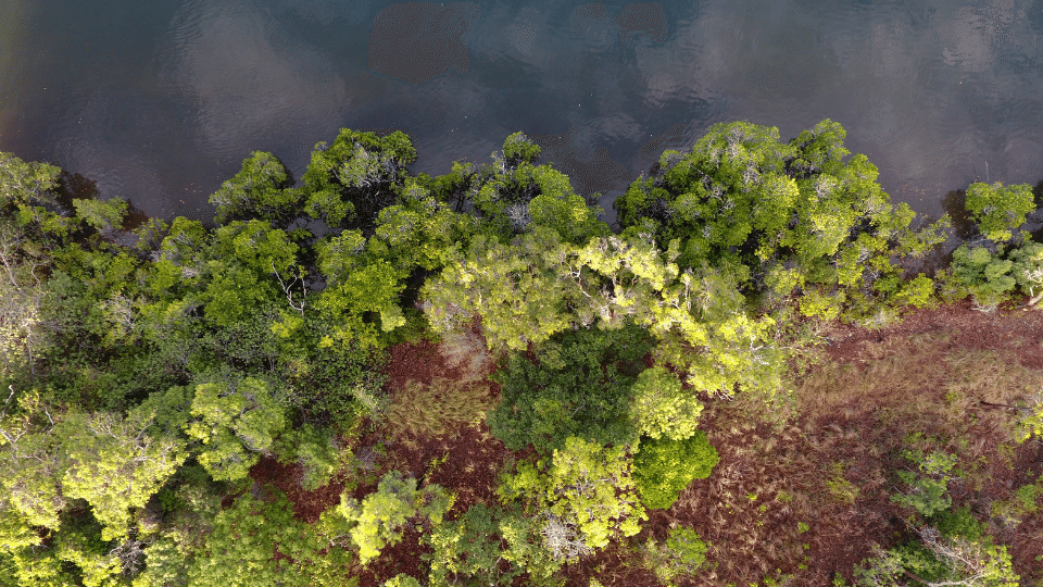
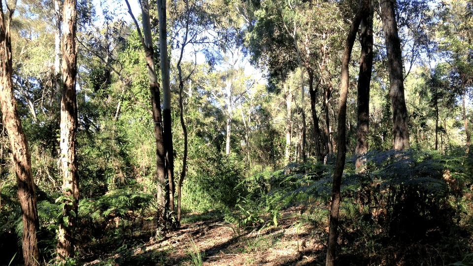
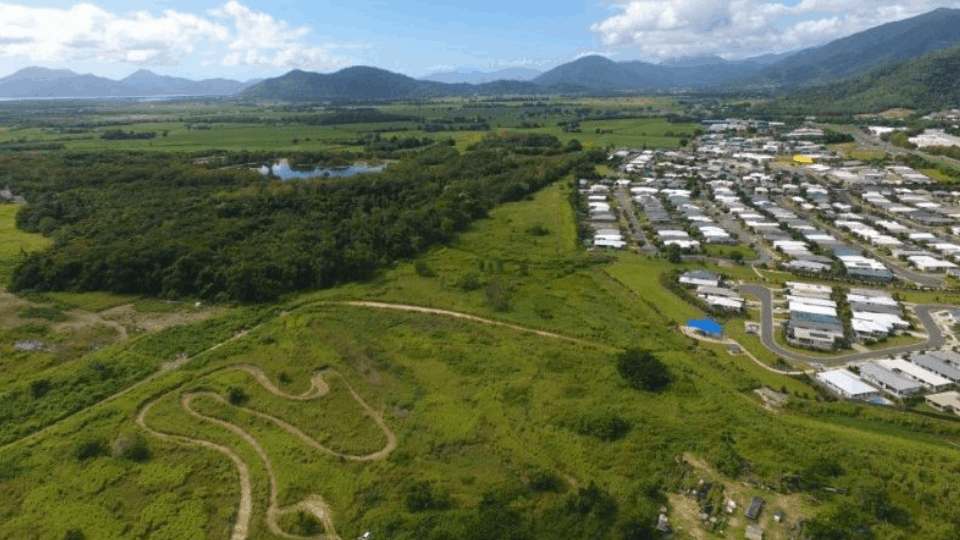
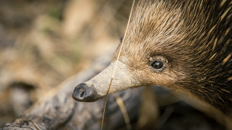
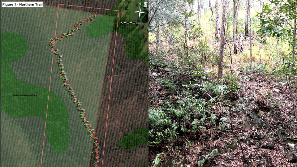
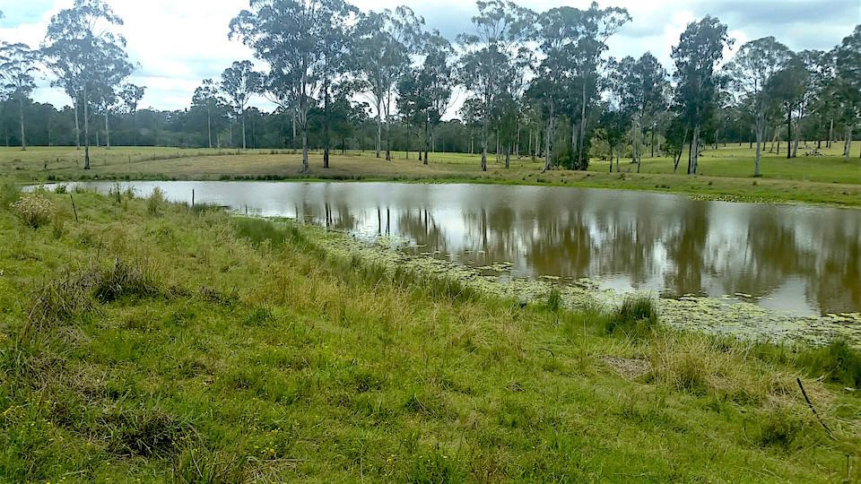
A detailed ecological assessment was undertaken at this site in Logan which involved intensive fieldwork to capture detailed information about the site. To support the field data component, an RPA was used to capture orthomosaic RGB imagery (3.76 cm/pixel) and 3d landscape model (high resolution) information. This high-resolution imagery was used to support an ecological assessment for development approval.
- YEAR2019
- SECTORPrivate Development
- CATEGORY Consulting , Drone , Ecology , Environmental , Recent